In my absence I see I didn't miss much...l00 degree heat has become common around these parts and even when we get a "break", perhaps like tomorrow and Saturday, we still expect 90s in the region to be the norm. Hopefully we'll take off about 5-10 degrees compared to the last several days. Over this weekend I'll be doing some comparison stats for you showing how this summer is comparing to last summer. We were really in the heart of the summer heat last year at about this time and it continued throughout the month of August before finally breaking. We finished last August some 4.6 degrees above normal and it appears that this August will certainly start out rather toasty as another run of 100+ heat appears to be shaping up.
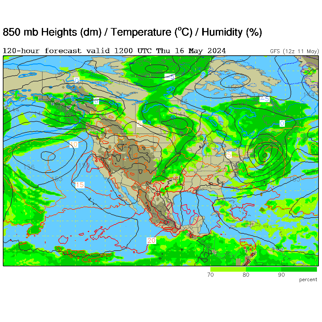
This again is being generated by our semipermanent dome of heat that is recycling again through the middle part of the country. This will once again intensify across the midwest early next week and you can clearly see the effects on the temperatures around 5000' or so...

It's basically a ball of convection with winds near the center at close to 45 mph. There should be some intensifying as the storm is over the open waters of the very warm Gulf Of Mexico and the folks @ TPC suggest the potential for 60 MPH winds. The storm is also undergoing some shear, which is like poison to a tropical system. While not tremendous it may be enough to keep the intensification below hurricane status. As far as where Don should end up...latest forecasts have the storm near or just north of Corpus Christi sometime early Saturday morning. This actually may be a good thing down there, as is often the case in drought situations, and they really need the rainfall, these things sometimes will ease with tropical rainfall. I think I read the other day that this part of Texas needed some 15-20" of rainfall to catch up. Systems like Don can help that IF they slow down, which Don probably won't do. Can't imagine how much, if any, moisture will head this way...the dome of heat will deflect the moisture well to the south of here and then take it into far W TX or Southern NM...so at this point it doesn't look that promising.
Also of note is the record rainfall that has fallen in Chicago, several days ago, and also in Dubuque, IA yesterday with some 7.47"...very impressive. It would not be unusual that when this heat finally breaks here that some big t/storm complex will be generated...
Today is the 14th straight day @ KCI and 15th straight day @ the downtown airport that we've busted through 90 or higher...
Have a great day and it's nice to be back!
Joe
No comments:
Post a Comment